

If you have ever wondered exactly how big the Dead Sea is, you are asking a trickier question than it sounds. This is not a body of water that sits still. Its shoreline creeps inward every single year, its depth keeps dropping, and the numbers you find in an old textbook probably would not match what’s true today.
So let’s set the record straight, using the most current figures available, and walk through everything that defines this strange, shrinking, endlessly fascinating saltwater lake.
What Is the Dead Sea, Exactly?
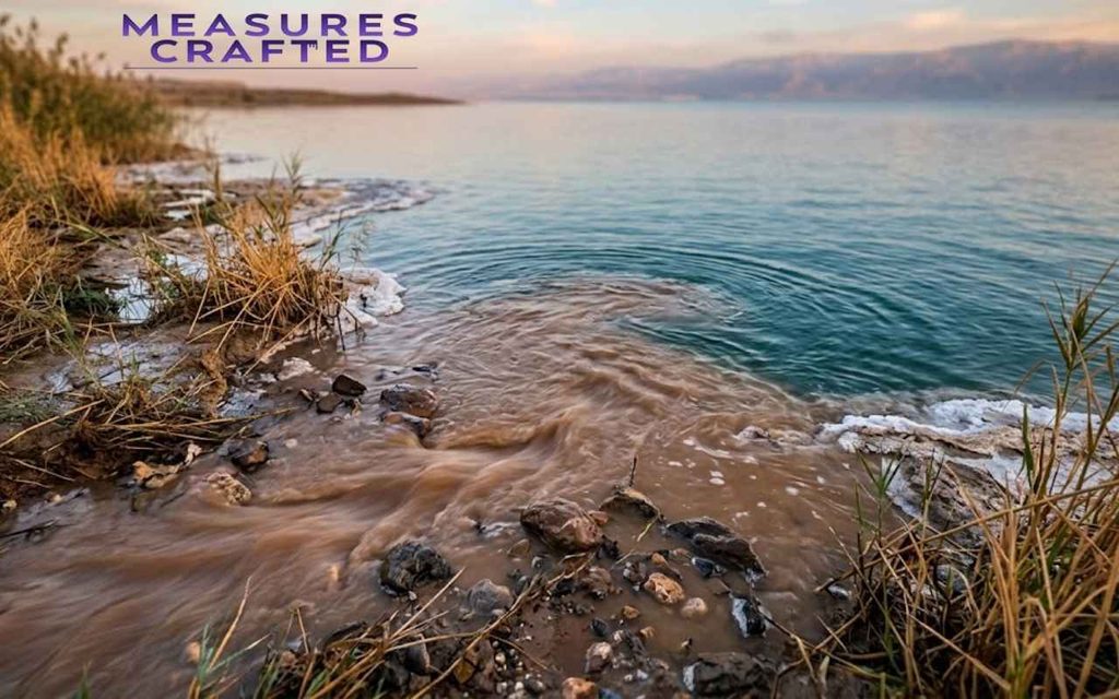
Despite the name, the Dead Sea is not a sea at all. It is a landlocked, hypersaline lake wedged into the Jordan Rift Valley, bordered by Israel and the West Bank on one side and Jordan on the other. Water flows in, mostly from the Jordan River, and then it just… stays. There is no outflow. The only way water leaves is through evaporation under a brutal desert sun, which is exactly why the salt has nowhere to go and keeps concentrating year after year.
That single fact explains almost everything unusual about this place: the salinity, the buoyancy, the total absence of fish, and the mineral-rich mud people travel across the globe to sit in.
Read more about, 5 Inches Explained with 15 Everyday Objects
Measuring the Dead Sea Through History
People have been trying to measure and make sense of this lake long before satellites existed, and the methods have come a long way.
Ancient and Biblical-Era Estimates
Ancient writers did not have satellites, but they were not clueless either. References to the Dead Sea appear throughout Dead Sea history, including biblical texts that describe it as a boundary marker for the region around ancient Sodom and Gomorrah.
Roman-era historians, including Josephus, wrote about its buoyancy and strange composition centuries before modern chemistry could explain why. These were not precise measurements, but they show the lake’s unusual properties were common knowledge thousands of years ago.
Modern Survey Methods and Satellite Data
Today’s measurements come from a mix of sources: satellite imagery tracking shoreline retreat, sonar-based bathymetric surveys mapping the lakebed, and permanent monitoring stations that record surface elevation daily. This is also how the Dead Sea Scrolls connect back to measurement, indirectly.
The scrolls were discovered in the Qumran Caves near the lake’s northwestern shore in 1947, and their preservation is partly credited to the extremely dry, salt-heavy air produced by the very evaporation process that is currently shrinking the lake. The same conditions that threaten the Dead Sea’s size are what kept those ancient texts intact for roughly 2,000 years.
Quick Conversion Table: Dead Sea Dimensions at a Glance
Before diving into the details, here is the full snapshot in one place. Bookmark this table if you just need the numbers fast.
| Measurement | Metric | Imperial |
|---|---|---|
| Maximum length | 50 km | 31 miles |
| Maximum width | 15 km | 9.3 miles |
| Surface area | ~605 km² | ~234 sq miles |
| Average depth | 188.4 m | 618 feet |
| Maximum depth | 304 m | 997 feet |
| Surface elevation (2025) | −439.78 m | −1,443 feet |
| Water volume | 114 km³ | 27 cubic miles |
| Catchment area | 41,650 km² | 16,080 sq miles |
| Salinity | ~34% | 9.6x ocean salinity |
Keep these numbers in mind. We will unpack what each one actually means and why they keep shifting.
Where the Dead Sea Sits and How It is Shaped
Two pieces of geography explain almost everything else on this list: exactly where the lake sits, and the tectonic forces that put it there in the first place.
Location Between Jordan and Israel
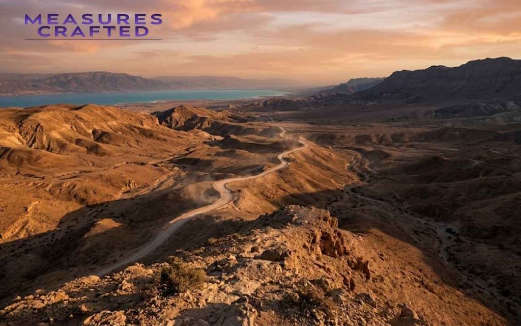
The Dead Sea region straddles two countries, with Jordan to the east and Israel and the West Bank to the west. Geographically, it belongs to the wider Jordan Rift Valley system, a long depression carved into the Earth’s crust that stretches from Syria down through the Red Sea. The lake itself sits at the lowest stretch of that valley, which is also, not coincidentally, the lowest point on the surface of the planet.
Read more about, Coke Can Dimensions: The Complete Size Guide for Every Format
The Rift Valley’s Role in Its Formation
Here is the part most articles skip. The Jordan Rift Valley is not just a low-lying ditch, it is an active tectonic boundary, part of the same fault system that includes the Great Rift Valley in East Africa. Two tectonic plates, the African and Arabian, slide past each other here, and that grinding motion over millions of years pulled the crust apart and dropped it down.
The Dead Sea basin is essentially the result of the ground sinking faster than sediment could fill it back in. That is a big reason this Dead Sea dimension puzzle exists in the first place: you are looking at a lake sitting inside an actively deforming stretch of crust, not a static bowl.
Breaking Down the Dead Sea’s Dimensions
With the setting established, here is what the actual measurements look like once you get past the outdated numbers still floating around online.
Length and Width Measured Today
At its longest, the Dead Sea stretches roughly 50 kilometers (31 miles), and at its widest point, about 15 kilometers (9.3 miles). Older sources you might stumble across list the lake as being closer to 67 km long. That is not an error, it is history.
Decades ago, before the southern basin dried into a set of industrial evaporation pools, the lake was noticeably longer. Today, the functioning body of water is really just the northern basin, and that is what modern Dead Sea dimensions actually refer to.
Surface Area and How It is Shrunk Over Time
Surface area currently sits around 605 square kilometers (234 square miles), based on measurements taken in the mid-2010s, and it is smaller now. Back in the 1930s, the lake covered roughly 1,050 square kilometers.
Do the math and you will find the Dead Sea has lost close to 40% of its surface area within less than a century. That is not a gradual, barely-noticeable drift, it is a fast, visible retreat, and researchers can track it in satellite images almost year by year.
You may also like, Pokémon Card Dimensions: Size Guide (Inches, MM, CM & Pixels)
Elevation: The Lowest Point on Land
As of 2025, the Dead Sea’s surface sits at −439.78 meters (−1,443 feet) below sea level, which makes its shoreline the lowest point of dry land anywhere on Earth.
For comparison, Death Valley in California, often cited as an extreme low point, sits at just −86 meters. The Dead Sea is more than five times lower. And because the surface keeps dropping roughly a meter every year, this “lowest point on Earth” title keeps getting more extreme with each passing year.
How Deep Does the Dead Sea Actually Go?
Depth is where the Dead Sea splits into two very different stories, one in the north and a much shallower one in the south.
Maximum Depth at the Northern Basin
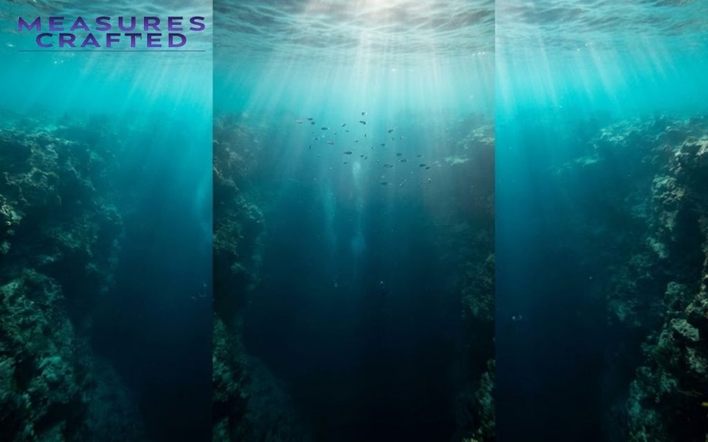
The deepest section of the lake, found in the northern basin, currently reaches 304 meters (997 feet). That is deep enough to make it the deepest hypersaline lake anywhere in the world, beating out competitors like Lake Assal in Djibouti by a wide margin.
To put that in perspective: if you dropped the Statue of Liberty into the deepest part of the Dead Sea, water would still cover it by more than 200 meters.
The Vanished Southern Basin and Its Shallow Depth
The southern basin tells a completely different story. It used to hold water naturally, but it is now largely controlled by industrial evaporation ponds built for potash and mineral extraction. Where it still holds water, depth barely reaches a few meters.
This split between a genuinely deep northern basin and an artificially shallow southern one is something a lot of articles gloss over, but it matters if you are trying to understand the real Dead Sea depth picture rather than an oversimplified average.
How Depth Has Changed Over the Decades
Historical records from the mid-20th century put the maximum depth closer to 330 to 380 meters, depending on the source and survey year. That means the lake has lost somewhere between 30 and 80 meters of depth in living memory.
Geochemists studying sediment layers on the lakebed, including recent work from Columbia University researchers, have used those layers almost like tree rings, reading past droughts and wet periods straight out of the salt deposits.
The Chemistry Behind the Numbers: Salinity and Density
None of these numbers mean much without understanding the chemistry driving them, starting with just how salty this water really is.
Discover more about, How Long Is 8 Inches? 20 Everyday Comparison That Make it easy
Salt Concentration Compared to the Ocean
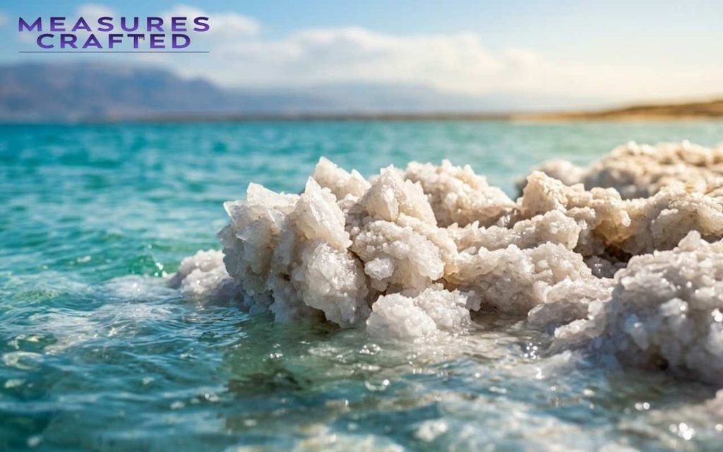
Dead Sea salinity runs around 34%, which sounds abstract until you compare it to the ocean’s average salinity of roughly 3.5%. That is nearly ten times saltier than the water most of us have swum in. The lake ranks among the saltiest bodies of water on the planet, trailing only a handful of extreme sites like Antarctica’s Don Juan Pond.
Why Density, Not Just Salt, Makes You Float
Here is the detail that trips people up: it is not the salt itself that makes you float, it is the density that salt creates. Dead Sea water has a density of roughly 1.24 kg per liter, compared to about 1.03 kg per liter for ocean water.
The human body, by comparison, averages close to 1.0 kg per liter. Once the surrounding fluid is denser than you are, buoyancy takes over and pushes you upward whether you are trying or not. That is the actual physics behind the postcard image of someone reading a newspaper while floating flat on their back.
“The Dead Sea does not ask you to swim. It simply refuses to let you sink.” — a line often repeated by local guides, and one that captures the physics better than most textbooks do.
A Shrinking Footprint: Tracking the Size Loss
Every dimension covered so far comes with an asterisk: it is shrinking, and here is the evidence that proves it.
Year-by-Year Surface Area Decline
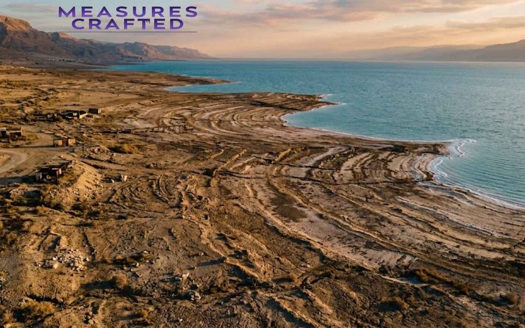
The shrinking Dead Sea is not a slow-motion myth, it is measurable in real time. Current estimates put the water level drop at roughly 1 meter (about 3.3 feet) per year, and some monitoring stations have recorded years where the decline pushed closer to 1.2 meters. Multiply that over a few decades, and you get a lake that’s dropped more than 30 meters since the 1970s alone.
Check out our guide on, How Big Is a Monster Can? Dimensions, Sizes, and Comparisons
Sinkholes as Physical Evidence of Change
One of the more dramatic side effects of this decline is sinkhole formation. As the water retreats, it leaves behind underground salt layers that used to be dissolved by the lake. Fresh groundwater seeping in from nearby aquifers eats away at that leftover salt, and the ground above eventually collapses.
Thousands of sinkholes now dot the shoreline, some large enough to swallow a small building, and new ones appear regularly enough that certain roads and beach areas have had to be permanently closed.
What is Driving the Retreat
A few overlapping causes explain the water levels crisis:
- Jordan River diversion — Israel, Jordan, and Syria all pull heavily from the Jordan River for agriculture and drinking water, meaning far less freshwater reaches the lake than it used to
- Mineral extraction industries — Potash and bromine companies operating in the southern basin accelerate evaporation deliberately, as part of their production process
- Regional climate shifts — Rising temperatures and lower rainfall across the region intensify evaporation rates naturally
- Reduced tributary flow — Smaller seasonal streams that once fed the lake have been dammed or redirected for local water needs
How the Dead Sea’s Size Compares to Other Lakes
Numbers land better with context. Here is how the Dead Sea stacks up against a few well-known lakes around the world:
| Lake | Surface Area | Max Depth |
|---|---|---|
| Dead Sea | ~605 km² | 304 m |
| Great Salt Lake (USA) | ~2,500 km² (varies heavily) | ~10 m |
| Lake Van (Turkey) | ~3,755 km² | 451 m |
| Lake Tahoe (USA) | ~496 km² | 501 m |
What jumps out immediately: the Dead Sea is smaller in surface area than most lakes on this list, but its salinity and rate of shrinkage set it apart from all of them. The Great Salt Lake, often used as a comparison point, actually runs far shallower despite covering more surface area. That gap shows just how unusually deep the Dead Sea’s basin really is for a saline lake of its size.
See also, 20 Things That Are 18 Inches Long With Real-World Examples
Projects Aimed at Stopping the Shrinkage
With the decline this severe, one major engineering proposal has dominated the conversation about reversing it.
The Red Sea–Dead Sea Water Conveyance Plan
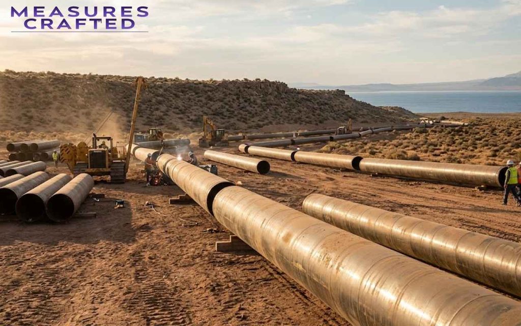
The most ambitious response to the decline is the Red Sea–Dead Sea Water Conveyance Project. It is a proposed pipeline that would carry desalinated water and brine from the Red Sea near Aqaba up into the Dead Sea basin. The idea is straightforward on paper: replenish the lake with hundreds of millions of cubic meters of water annually while also generating desalinated freshwater for Jordan along the way.
Where the Project Stands Today
Progress has been slow. Political coordination between Jordan, Israel, and the Palestinian Authority is complicated, and funding has stalled multiple times. Environmental groups have also raised concerns about mixing Red Sea water with the Dead Sea’s unique chemistry, warning it could trigger unpredictable reactions like algae blooms or gypsum formation. Smaller pilot phases have moved forward, but a full-scale conveyance system remains, at best, a long-term goal rather than a near-term fix.
Quick Quiz: Dead Sea Dimensions
Think you have got the numbers down? Put it to the test with this quick quiz on the Dead Sea’s dimensions.
Want to learn more? 20 Everyday Things That Are 10 Inches Long
1. What is the current maximum depth of the Dead Sea?
A) 188 meters
B) 250 meters
C) 304 meters
D) 439 meters
2. What makes the Dead Sea’s surface elevation unique on Earth?
A) It is the highest lake surface in the world
B) It is the lowest point of dry land on Earth
C) It is the widest lake surface in the Middle East
D) It sits exactly at sea level
3. Why can people float so easily in the Dead Sea?
A) The water temperature keeps them buoyant
B) Strong underwater currents push swimmers upward
C) The water’s high density, from its extreme salinity, makes it denser than the human body
D) Special mineral deposits repel water
4. What is the primary cause of sinkholes forming along the Dead Sea’s shoreline?
A) Earthquakes cracking the bedrock
B) Freshwater dissolving underground salt layers left behind as the lake retreats
C) Heavy tourist foot traffic
D) Excess rainfall flooding the basin
5. What is the goal of the Red Sea–Dead Sea Water Conveyance Project?
A) To drain the Dead Sea for mineral extraction
B) To build a tourist canal between the two seas
C) To pipe water from the Red Sea to help replenish the Dead Sea and produce desalinated freshwater
D) To lower the Dead Sea’s salinity for swimming safety
Answers:
- C)
- B)
- C)
- B)
- C)
Conclusion
The numbers behind the Dead Sea are not just trivia, they are a running record of a lake in genuine crisis. Every meter of elevation lost, every sinkhole that opens along the shore, every shift in surface area tells the same story: this is one of the fastest-changing large bodies of water on Earth, and the Dead Sea dimensions you read about today will already be slightly out of date within a year or two.
That is what makes tracking them worth doing properly, with real figures instead of decades-old textbook numbers nobody’s bothered to update.
FAQs about dead sea
Got a specific number in mind? Here are the quick answers people search for most.
1. Why is Dead Sea mud considered therapeutic?
The lake’s mud pulls in magnesium, calcium, and potassium as it settles along the shoreline, and these mineral-rich deposits are widely used in spa treatments for soothing skin conditions like psoriasis and easing joint inflammation.
2. Can any fish or marine life survive in the Dead Sea?
No. The salinity is far too extreme for fish, plants, or most microorganisms to survive, which is actually where the lake’s name comes from — only a few salt-tolerant bacteria and algae can handle those conditions.
3. Which beaches are best for the classic Dead Sea floating experience?
Ein Bokek Beach and Kalia Beach are the two most popular access points, both offering easy shoreline entry plus nearby spa facilities for rinsing off and enjoying therapeutic waters treatments afterward.
Curious about this? How Long Is 11 Inches? 25 common Things And Conversion Guide

Hi, I’m Adam Nicholas, and I lead the Dimensions category here at Measures Crafted. I love breaking down height, width, and depth into comparisons that actually click — because a number on its own rarely tells the full story. My goal is to help you see the bigger picture, quite literally, so every dimension makes sense the moment you read about it.